The Sharon Trail has been re-marked and is Open for Hikers!
- Aug 24, 2020
- 2 min read
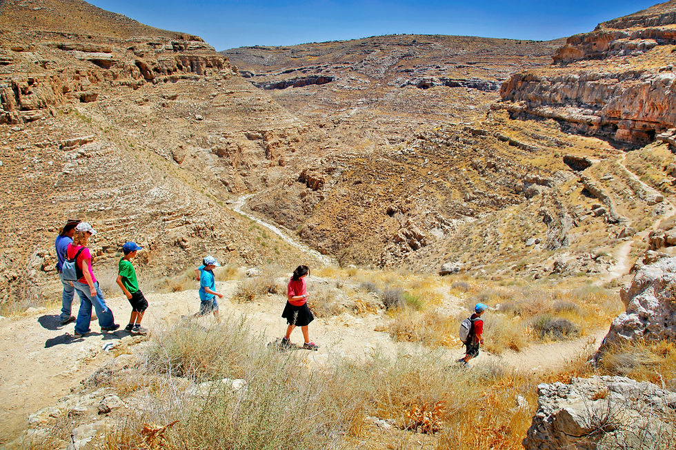
Great news from the Society for the Protection of Nature in Israel - the Sharon trail has been re-marked and is open for travelers.

How long is the Trail?
60 kilometers of trail have been marked from Alexander River to the Yarkon stream, alongside points where the Israel Trail joins. Marking the path will allow hikers to become more familiar with the Sharon area, which up until now has been less popular.
There will be certain points on the new trail where you will be allowed to camp out, as well as interesting nature sites and great bird watching areas: Agmon Hefer, Mitzpor Viker, Alexander stream, Aloni Kadima, Tel Shevach, Kaplan Forest, Hod Hasharon Park, farming grounds and more.
New Map
The Nature Protection Society has also produced a new Map marking the updated trail - Map No. 7 with the new route, as well as map number 5, marking out the Samaria and Benjamin regions, covering a wide area and including more than the previous map, from the Jordan and from the West.
These are the latest in the maps available - which now come to a total of 17 maps available for purchase.
The upgraded complete set includes uniform size maps, a new plastic method that is less bright in the sun, double-sided printing and no cuts, enlargement and focusing on the boardwalk centers in every area. You can purchase the maps here.

Educate. Love. Protect.
Established in 1953, The Society for the Protection of Nature in Israel (SPNI) is Israel's leading environmental non-profit organization. For over 60 years SPNI has been dedicated to protecting and preserving Israel's natural resources, environment, natural assets and unique landscape. The work carried out by SPNI now will determine what the land of Israel will look like for generations to come.


Comments